HomeRoots 391943
Sale
Sold out
✔ Same-Day Order Processing
Got a question?
• Text or call 800-814-9816
• Email support@kitchenoasis.com
• Start a live chat
Our team is available to serve you 8:00 AM - 11:59 PM ET, 7 days a week.
View full details
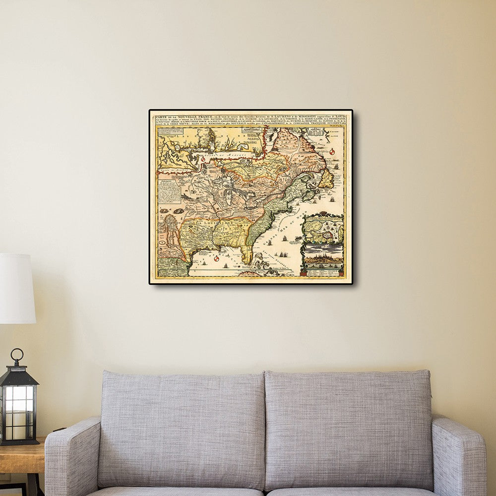
HomeRoots 24" x 28" Vintage 1718 Map of New France
HomeRoots 24" x 28" Vintage 1718 Map of New France
Regular price
$41.00
Regular price
$37.99
Sale price
$41.00
Unit price
per
Couldn't load pickup availability
Estimated Delivery Date: Between December 25th and December 31st to all states excl. Alaska & Hawaii if ordered in the next 24 hours 00 minutes 00 seconds.
✔ Free Shipping on Orders Over $400✔ Same-Day Order Processing
Got a question?
• Text or call 800-814-9816
• Email support@kitchenoasis.com
• Start a live chat
Our team is available to serve you 8:00 AM - 11:59 PM ET, 7 days a week.
Carte De La Nouvelle France translated, Map of New France, originally published in 1718 is a classic reproduction vintage map by Henri Chatelain. This print shows the inhabited parts of North America as of the early 1700s. This map, was based on the 1699 voyage of Pierre Le Moyne d'Iberville. An inset in the top left features the Mississippi Delta and Mobile Bay. The inset in the lower right includes a plan and view of Quebec Canada. Vignettes and notes throughout the map high-lights many points of interest. Printed on heavyweight matte art paper, this vintage-looking historic map poster is ready to frame, mount, or display as a poster directly on the wall.